Contact Number

  • (831) 667-1112

Park Accessibility Information

Park Hours

  •      8am to Sunset

Park Activities

No
Dogs not allowed beyond day-use parking lot.
Historical/Cultural Site
Picnic Areas
Env. Learning/Visitor Center
Exhibits and Programs
Guided Tours
Interpretive Exhibits
Beach Area
Swimming
Vista Point
Nature & Wildlife Viewing
Windsurfing/Surfing
Museums
Bike Trails
Hiking Trails

Park Facilities

Parking
Restrooms
Drinking Water Available
Boating

Park Directions

Get directions through Google Maps

The park is 20 miles south of Carmel on Highway 1.

Andrew Molera Campground

September 25, 2024 - Trail Camp Campground at Andrew Molera State Park will be closed for the winter season beginnnig on October 22, 2024. 

HIGHWAY 1 CLOSURES

Northbound / Southbound 1 Full Closure

From Turnout South of Vicente Creek to Turnout South of Lime Creek

Due to Emergency Work
No estimated time for reopening of closure.
Information courtesy of 

Last updated: 07/18/2024 6:26pm

Highway 1 closure map updated 6/23/24. Closed area is a 6.8 mile stretch of coastline north of Limekiln State Park to south of Eselen institute.


OVERNIGHT HIGHWAY 1 CLOSURES

ROAD WORK DELAYS AND CLOSURES UPDATE: 9-24-2024

Rocky Creek


News Release

Date: Tuesday, September 24, 2024

District: 05 – Santa Barbara, San Luis Obispo, Monterey, San Benito, and Santa Cruz Counties

Contact: Kevin Drabinski or Genelle Padilla

Phone: (805) 549-3138 or (805) 549-3237

FOR IMMEDIATE RELEASE

CALTRANS MODIFIES PREVIOUSLY ANNOUNCED SCHEDULE FOR OVERNIGHT CLOSURES OF HIGHWAY 1 AT ROCKY CREEK

MONTEREY COUNTY – Caltrans will continue with emergency repairs to Highway 1 near the Rocky Creek Bridge, 12 miles south of Carmel. Caltrans previously stabilized and reinforced Highway 1 at this location after a March 30 slipout resulted in a loss of a section of the southbound lane.

Upcoming Repair Schedule Update

Travelers will encounter an intermittent closure of Hwy. 1 at Rocky Creek with flaggers from 10 pm to 6 am, on Wednesday Sept. 25, and a full overnight closure of Hwy. 1 at Rocky Creek from 10 pm to 6 am, on Thursday Sept. 26. 

No closures are scheduled for Friday Sept. 27 and Saturday Sept. 28.

Five consecutive nights of full overnight closures are set from 10 pm to 6 am on Sunday Sept. 29 thru Thursday Oct. 3.  The need for additional full overnight closures for Friday Oct. 4 and the following weekend will be determined based on progress with the concrete pours as crews continue with construction of the reinforced concrete support columns.
Updates will be provided regarding any additional closures for the week of Oct. 6.

Overnight Closures Needed for Construction of Support Columns

Crews are entering a critical phase of construction of the southbound section of the Rocky Creek viaduct. This viaduct is a bridge-like structure and during this next phase reinforced concrete support columns will be cast to support the weight of the structure.

Because this phase of construction involves drilling and concrete work in open holes, it is necessary for crews to maximize the number of consecutive shifts with full overnight closures so that the integrity of the bored holes is preserved. Working on an uninterrupted schedule also allows for this phase to be completed in advance of wet weather, reducing the chance for water intrusion and delays to the project schedule.

Daytime travelers will continue to enjoy access through the repair site driving on the northbound lane and directed by a temporary signal system.

Once construction of the southbound section of the Rocky Creek viaduct is complete, travel will be directed onto this southbound section and work will begin on construction of the northbound portion of the viaduct.

The estimate for completion of the Rocky Creek viaduct is summer 2025 and is dependent on conditions encountered during construction. The contractor for this project is Gordon N. Ball, Inc. of Alamo, CA.

Highway 1 remains closed 40 miles south of Carmel due to the Regent’s Slide.

Road information and updates can also be found on Caltrans District 5 Social Media platforms: X/Twitter at: @CaltransD5, Facebook at: Caltrans Central Coast (District 5) and Instagram at: Caltrans_D5.

Our crews deserve to get home safely too.

Drive slowly and carefully in work zones.

Park Map


About Andrew Molera State Park

TRESPASS ALERT

During your visit to Andrew Molera State Park, you may encounter fenced and posted boundaries for the El Sur Ranch. We ask your cooperation in refraining from climbing or cutting these fences. The El Sur Ranch is a working cattle grazing operation. These grazing areas are not safe for hiking. These private lands should not be utilized for beach access. Stay on park trails and obey all signs.

California Penal Code Sec. 602,602.8

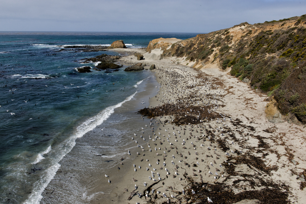
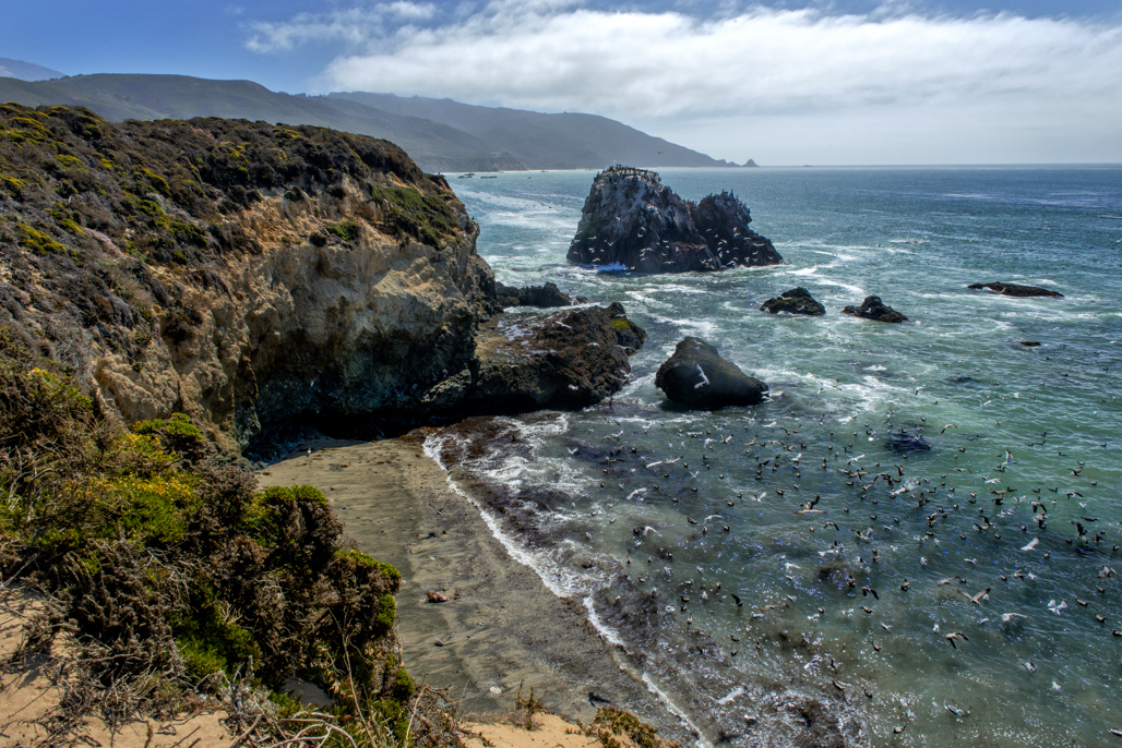
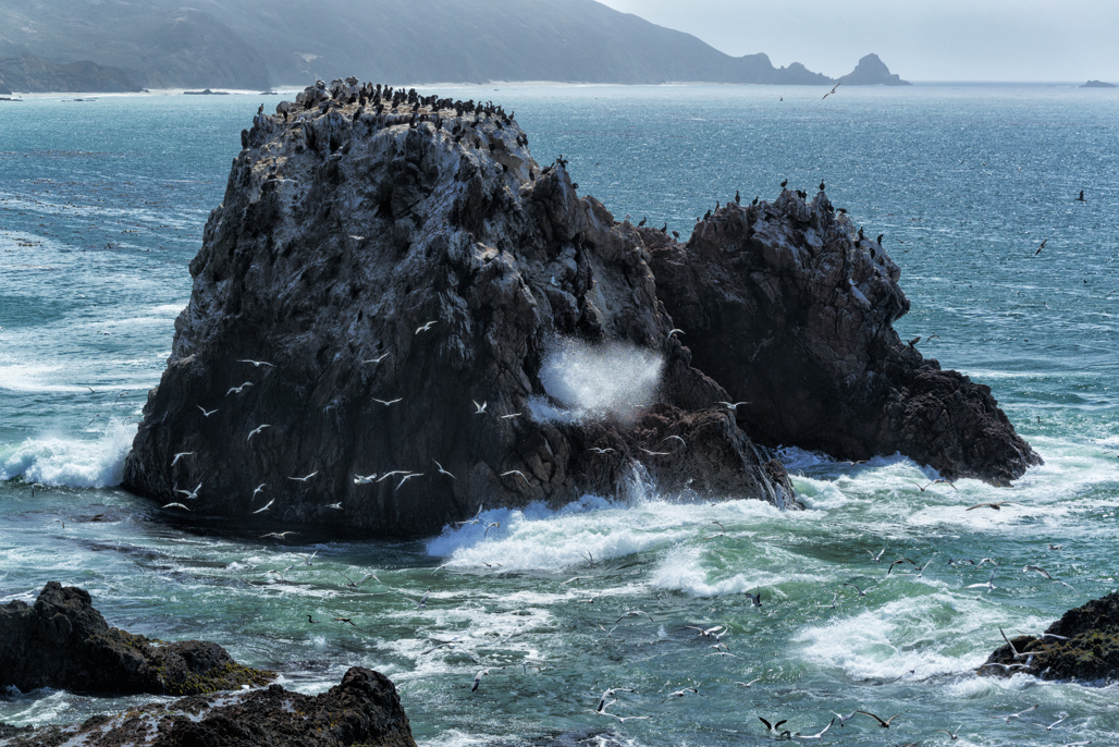
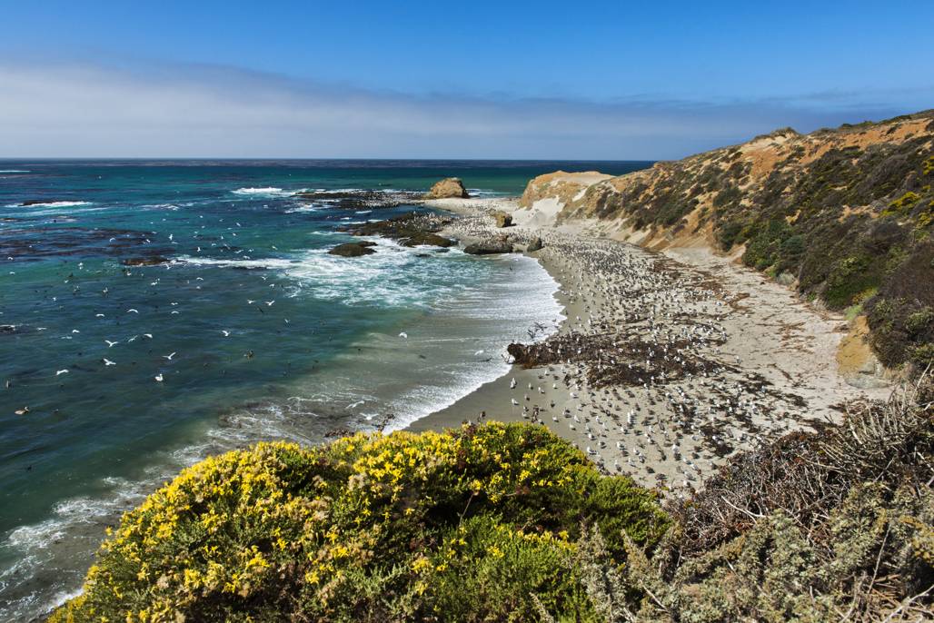
In the spectacular Big Sur area, this park is still relatively undeveloped and offers visitors great hiking and beachcombing as well as panoramic views of the Monterey Bay National Marine Sanctuary, a federal marine protected area. Miles of trails wind through meadows, bluffs, beaches and hilltops.

Weather
 CURRENT WEATHER
 CURRENT TIDES
The weather can be changeable. Layered clothing is advised. In winter, overnight temperatures can range in the 30s-50s (Fahrenheit). Winter daytime temperatures can be low 50s-mid 70s. In summer, overnight temperatures can range in the 50s-70s, with daytime temperatures typically in the 70s-80s.  Summer mornings bring fog, which usually burns off by midday.

Location
Near mile marker 51.2 on Highway 1, the park is located 21 miles south of Carmel.
 GOOGLE MAP

LOST AND FOUND: BigSur.Admin@parks.ca.gov

(CAMPING ONLY) LATE ARRIVALS: BigSur@parks.ca.gov 


Additional Visitor Services

Molera  beach