Pfeiffer Big Sur State Park
The Park is currently OPEN.
Please check the hours of operation.Expect delays when driving to Big Sur from Monterey/Carmel due to work at the Rocky Creek Slip out area. There is a one lane section of highway here, with daytime flaggers and a 24/7 traffic light.
Full Overnight Closure of Highway 1 at Rocky Creek Sunday, June 29
Travelers will encounter a full overnight closure of Highway 1 at Rocky Creek starting Sunday, June 29 at 10 pm until Monday, June 30 at 6 am. Crews will take advantage of this full overnight closure to use a crane to deliver materials down to the shoreline in support of efforts to reconstruct a seawall below the new viaducts.
NOTE: Highway 1 is CLOSED to all traffic including vehicles, pedestrians and cyclists 5 miles south of Julia Pfeiffer Burns due to the landslide "Regents Slide." Please see the Highway 1 closure info and maps on our websites. There is currently no anticipated date for the full opening of Highway 1 at Regent's Slide.
Highway 1 remains closed between Esalen Institute and Lucia.
Visitors can now access Limekiln State Park for Day Use from the Cambria/San Simeon area. Limekiln State park is open for limited day use. Please visit the website link on the right side of our page for more information.
Camping reservations can be made at www.reservecalifornia.com up to 6 months in advance.
Always check area weather forecasts and road updates before visiting. NOAA Weather- Big Sur
For more information about USFS properties and current closures, please visit USFS - Los Padres National Forest - Big Sur
For current highway closures and conditions please visit CalTrans - Road Conditions Map
Follow us on social media @BigSurStateParks for photos and information.
HIGHWAY 1 CLOSURES
Northbound / Southbound 1 Full Closure

From Turnout South of Vicente Creek to Turnout South of Lime Creek
Due to Emergency Work
No estimated time for reopening of closure.
Information courtesy of ![]()
Last updated: 05/10/2025 1:21pm

ONGOING OVERNIGHT HIGHWAY 1 CLOSURES
EXPECT ROAD WORK DELAYS AT ROCKY CREEK SLIP OUT, 13 MILES SOUTH OF CARMEL.

About Pfeiffer Big Sur State Park
THERE IS NO BEACH OR OCEAN ACCESS IN THIS PARK
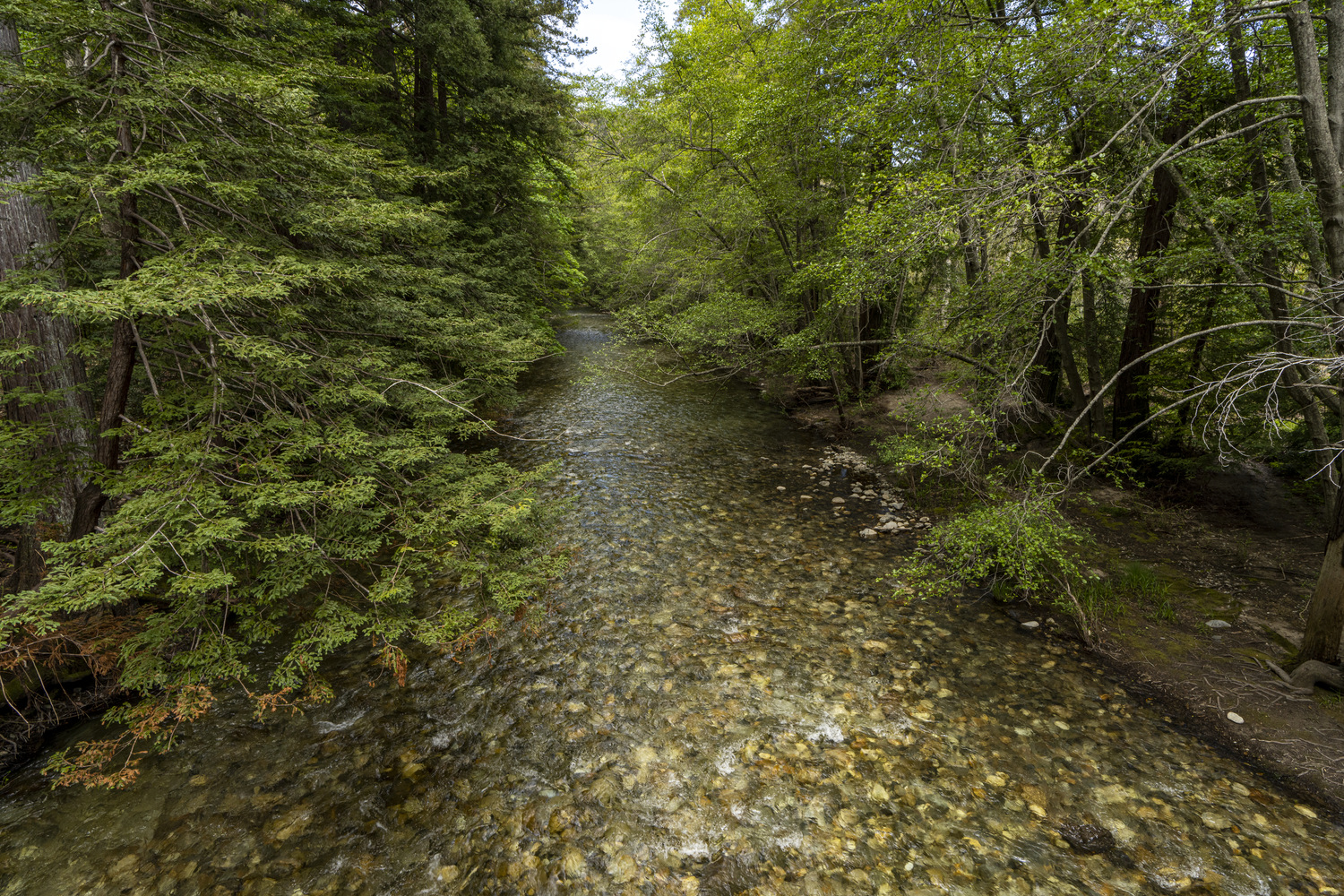
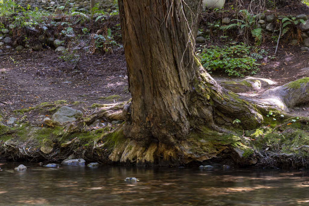
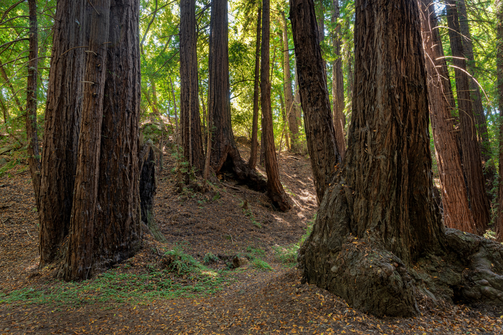
The turn-off for popular Pfeiffer Beach is located on Highway 1, approximately one mile south of Pfeiffer Big Sur State Park's entrance. Heading south from the State Park entrance, it is the second right turn. Pfeiffer Beach is not a California State Park and charges a separate entrance fee.On the western slope of the Santa Lucia Mountains, the peaks of Pfeiffer Big Sur State Park tower high above the Big Sur River Gorge, where the Big Sur River enters this popular park. Walk along the banks of the river and among the redwoods, conifers, oaks, sycamores, cottonwoods, maples, alders and willows. A large campground accommodates hikers, bikers, car campers and RVers. Many campsites are located along the Big Sur River. Wildlife includes bobcats, black-tail deer, gray squirrels, raccoons, skunks, and birds, such as dippers and belted kingfishers. Hikers can enjoy many scenic trails, including a self-guided nature trail. Big Sur Lodge is located in the park. The lodge has 61 guest rooms, a conference center, cafe, and a grocery store.
Weather
CHECK CURRENT WEATHER
The weather can be changeable. Layered clothing is advised. In winter, overnight temperatures can range in the 30s-50s (Fahrenheit). Winter daytime temperatures can be low 50s-mid 70s. In summer, overnight temperatures can range in the 50s-70s, with daytime temperatures typically in the 70s-80s. Summer mornings bring fog, which usually burns off by midday.
Location
Near mile marker 47.2 on Highway 1, the park is located 26 miles south of Carmel.
GOOGLE MAP

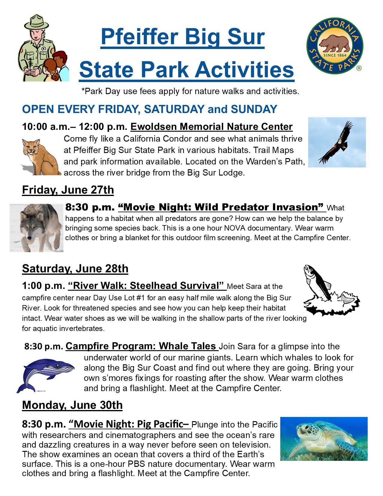
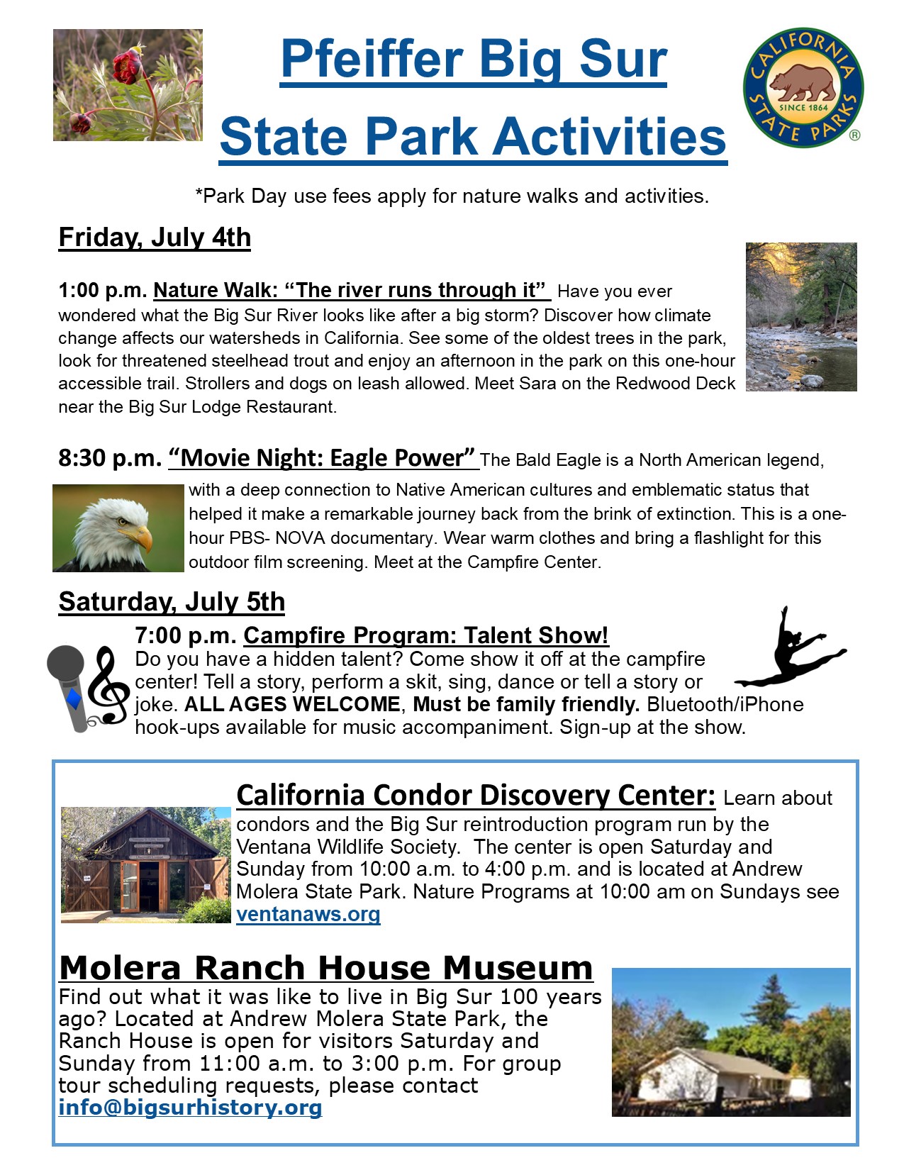
Ewoldsen Nature Center Now Open Friday, Saturday and Sunday
The Ewoldsen Nature Center is now open for all visitors to enjoy on
Friday, Saturday and Sunday from 10:00 a.m. to 12:00 p.m.
Set amidst life-size murals of Big Sur's natural habitat areas, visitors are encouraged to learn about the flora and fauna of Pfeiffer State Park and beyond. Adults and children alike can experience what it's like to "Fly like a Condor" at our digital condor flight station designed with actual Big Sur condor flight patterns. Hosted by State Parks staff and volunteers, the Ewoldsen Nature Center is a place of wonder and delight for all who stop by.
We'd love to see you here!!
