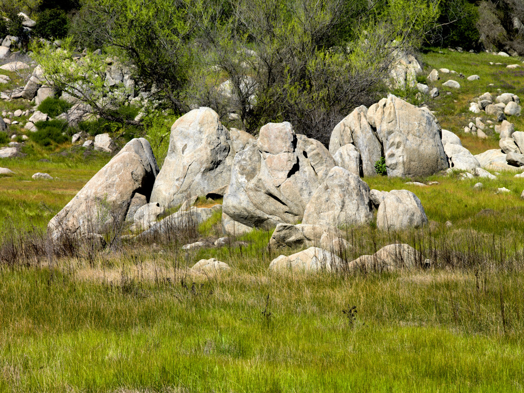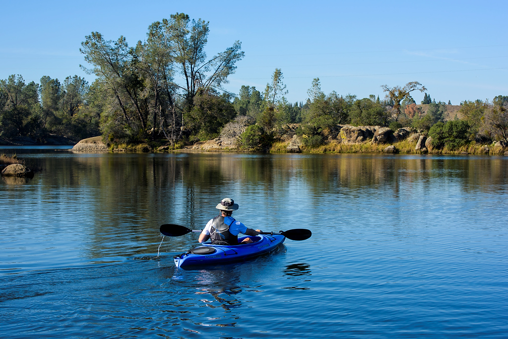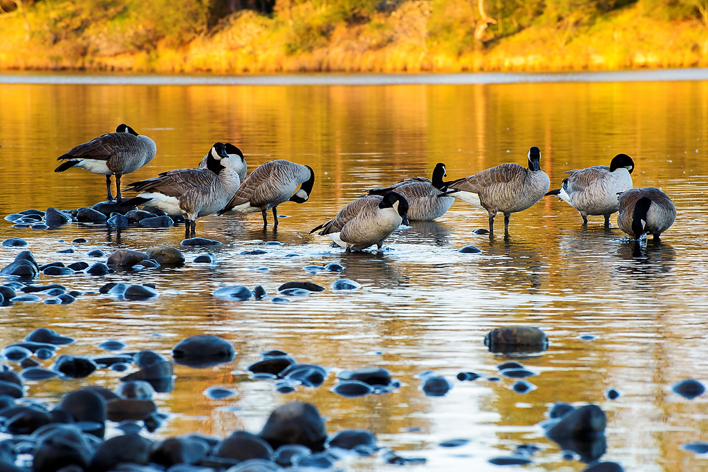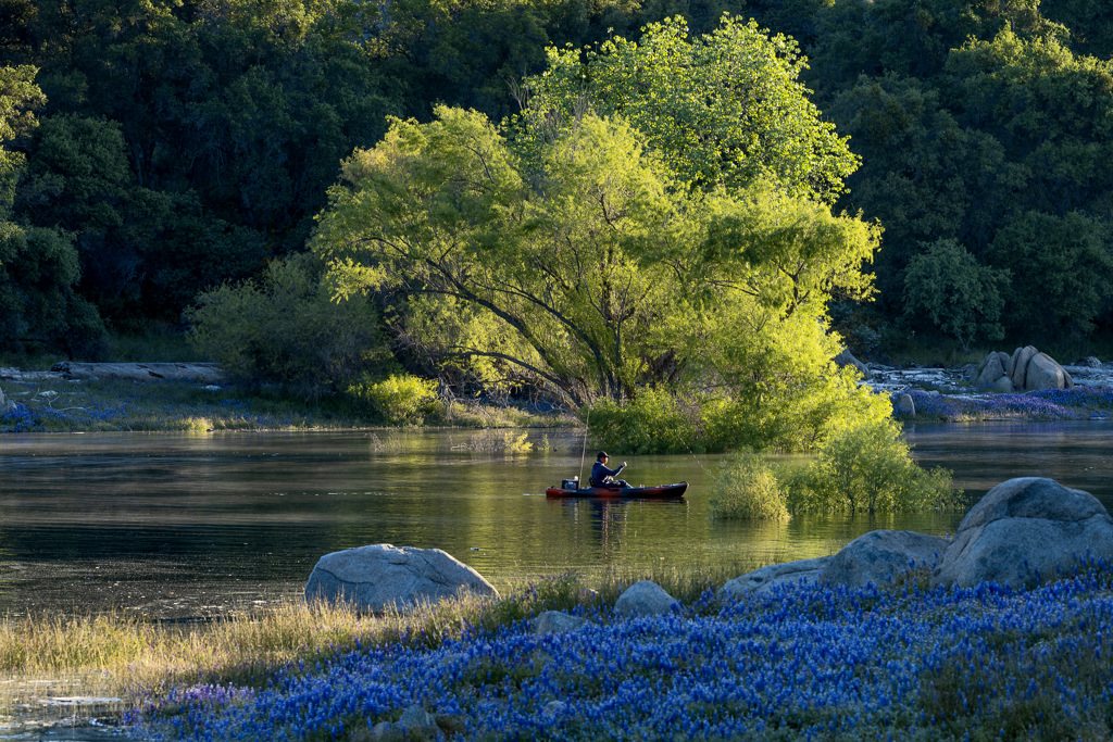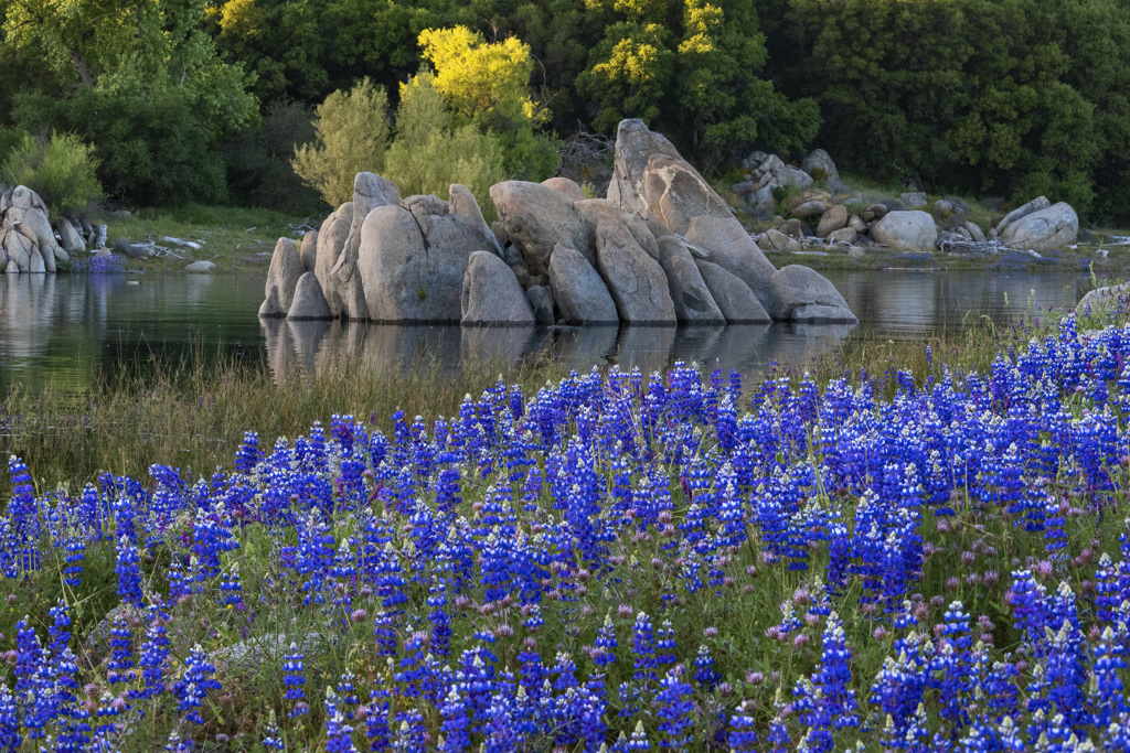
Located at the base of the Sierra foothills, the lake and recreation area offers opportunities for hiking, biking, running, camping, picnicking, horseback riding, water-skiing and boating. Fishing offers trout, catfish, largemouth and smallmouth bass, or perch. Visitors can also see the Folsom Powerhouse (once called "the greatest operative electrical plant on the American continent"), which from 1895 to 1952 produced 11,000 volts of electricity for Sacramento residents. For cyclists, there is a 32-mile long bicycle path that connects Folsom Lake with many Sacramento County parks before reaching Old Sacramento. The park also includes Lake Natoma, downstream from Folsom Lake, which is popular for crew races, sailing, kayaking and other aquatic sports.
 Regular day use hours apply to all areas except the following:
- Campgrounds
- Overnight moorings for registered boat campers
- Folsom Lake Marina at Brown's Ravine
Lake Natoma is primarily managed for non-motorized and slow-speed aquatic recreation such as rowing, paddling, etc. There is a 5-mph speed limit enforced on the entire lake.
The following units are closed to vehicles until further notice:
- Nimbus Shoals
For any and all questions and the most current information, please contact the park at (916) 988-0205
Camping is available year-round at Beals Point Campground. No rservations are needed during our off-season. Additional information about Camping can be found here or by calling (800) 444-7275.
Location
Folsom Lake State Recreation Area is located in the Sierra-Nevada foothills about 25 miles east of Sacramento, can be reached via either Highway 50 or I-80. Both Folsom Lake and Lake Natoma have many access points and entrances. The administrative offices are located at the base of Folsom Dam at the corner.  Park Entrances
The park has multiple entrances most of which are fairly easily accessed by either Interstate 80 to Douglas Blvd.(east), or Highway 50 to Hazel Ave., or Folsom Blvd., (north).
Directions to the Peninsula campground:
80 east Reno
From Hwy 80 take the Elm St. exit out of the city of Auburn, at the 1st light make a left, at your very next light you will make another left that is High St. High St turns into Hwy 49 you will travel on Hwy 49 for 10 miles towards the town of Cool. You will enter a small town called Pilot Hill from that small town you will turn right on Rattlesnake Bar Rd. that road will dead end into the campground in 9 miles.
Hwy 50 S.Lake Tahoe
From Hwy 50 you will take the El Dorado Hills Blvd. exit go north on El Dorado hills for about 10 miles (at some point the road changes names to Salmon Falls Rd.) you will enter the small town of Pilot Hill you will make a left on Rattlesnake Bar Rd. which dead ends onto the campground in 9 miles.
Directions to the Beals Point campground:
80 east Reno
From Hwy 80 you will take the Douglas Blvd. exit out of the city of Roseville. Go east on Douglas for about 6 miles make a right on Auburn-Folsom Rd. go about 2½ miles until you come to a stop light the sign will say Beals Point and you make a left.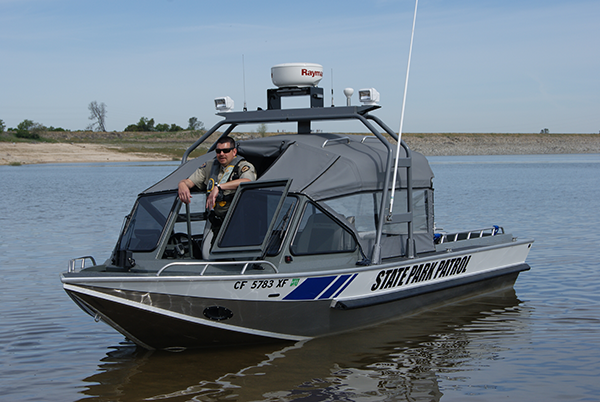 Hwy 50 S. Lake Tahoe
Take the Folsom Blvd. exit go north on Folsom for about 7 miles (the road will change names to Folsom- Auburn) you will come to a stop light, the sign will say Beals Point and you make a right.
Transportation to the Park
A variety of transportation methods are available to park visitors at Folsom Lake and Lake Natoma. With its urban setting and the accessibility of the parks entrances, local bus services can be used reach Folsom Lake and Lake Natoma. Private vehicles as well as bicycles, horseback, and foot travel are the most frequently used methods of park entry.
Visit Recommendations
The primary recreation season coincides with the spring and summer months when temperatures are in the 80s, 90s and 100s.
Visitation is highest from April through September. In the spring months when school is still in session, evenings and weekends are the times of highest lake activity.
Climate, Recommended Clothing
Summers at Folsom Lake State Recreation Area are generally hot and dry. Dress lightly for high temperatures but be careful of over exposure to the sun.
Winters can be very cold with lengthy periods of central valley fog conditions. Dress in layers as the damp can bring on a penetrating chill.
Spring and Fall offer warm days and cooler evenings and nights. Dress in layers.
Good walking shoes are a must when exploring any of the park trails. Shoes or sandals are recommended on the lake's beaches and boat ramp areas.
Granite Bay and Black Miners Bar Group Picnic Sites
Folsom Lake State Recreation Area offers reservable group picnic sites at two park entrances.
Granite Bay Main Beach offers two reservable group picnic sites with easy access to Folsom Lake from the Granite Bay Main Beach parking area. The group picnic sites are available year-round during normal park hours. Each site can accommodate up to 100 people and include eleven picnic tables, a large BBQ station, adjacent to flush toilets and water faucets.
Black Miners Bar offers two reservable group picnic sites at the newly renovated day use area with easy access to Lake Natoma from the Black Miners Bar Day use parking area. The group sites are available year-round during normal park hours. Each site can accommodate up to 50 people and includes six picnic tables and a large prep/buffet table, shade ramada, a large BBQ station, trash and recycle containers and is adjacent to flush toilets.
All park day use fees apply. Reservations can be made up to 90 days in advance at our Folsom Sector Office at 7755 Folsom-Auburn Rd Folsom, CA 95630 or by emailing your completed application to: Folsomlake.SRA@parks.ca.gov.