Welcome to San Luis Reservoir State Recreation Area!
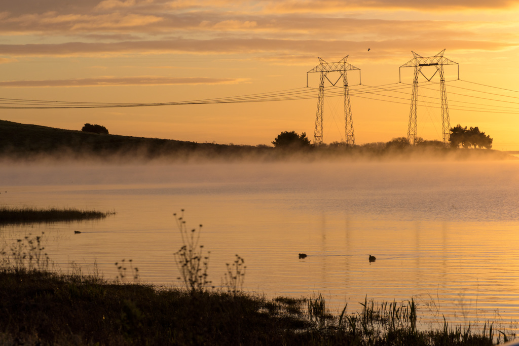
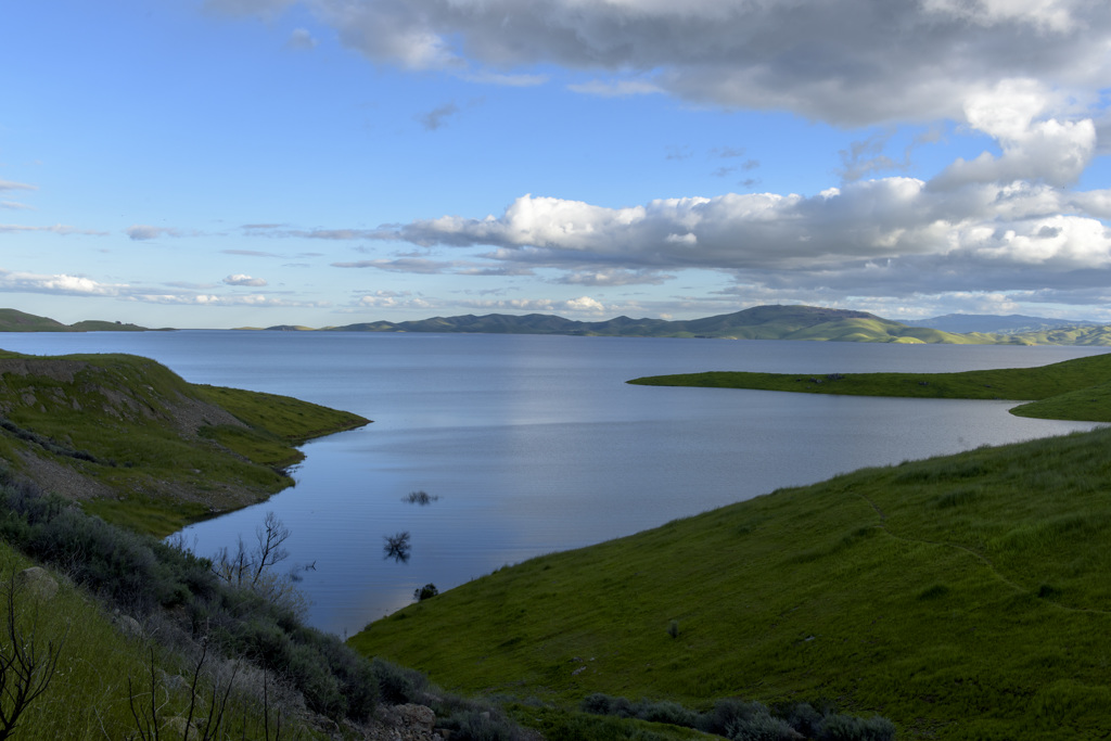
Nestled in the grassy hills of the western San Joaquin Valley near historic Pacheco Pass, San Luis Reservoir State Recreation Area is noted for boating, board sailing, camping, and picnicking. But it's anglers who find the unit's three lakes most inviting. San Luis Reservoir was constructed as a storage reservoir for the federal Central Valley Project and the California State Water Project. It stores runoff water from the Delta that would otherwise flow into the ocean. The water arrives through the California Aqueduct and the Delta-Mendota Canal, and is pumped from the O'Neill Forebay into the main reservoir during the winter and spring. The Los Banos Creek Reservoir was built to prevent storm runoff from flooding the canals.
The Romero Visitor Center is administered by the CA Dept. of Water Resources provides full information about the reservoirs and water projects through audio-visual and printed materials.
.png "View of San Luis Reservoir")
.png "Welcome to California State Parks Sign")
.png "Boat on the water")
.png "California State Parks Logo")
.png "Motorized bikes on a dirt path")
.png "Four Rivers Natural History Assocation Logo")
A Brief History
Long before the dams and canals were built, this land was the home of the Northern Valley Yokuts, native Americans who harvested seeds, acorns, and the roots of the tules that grew in the marshes of the sluggish San Joaquin River. There were also fish, geese, and ducks for food, as well as huge herds of pronghorn antelope and tule elk on the plains. With the coming of the Spanish, though, this way of life disappeared. Many of the valley people were taken to missions around 1805, and an epidemic, possibly of malaria, decimated the human population of this area in 1833. In the 1850s, the survivors were killed or driven off by Euroamerican settlers.
Pacheco Pass was named for Francisco Perez Pacheco, who settled here in the 1840s. The pass was used by Native Americans, Spanish soldiers and missionaries, Mexican ranchers, and gold miners, as well as more recent travelers. In 1856, Andrew Firebaugh improved the pass and made it a toll road, with a toll house two miles west of the summit. He had hardly finished when the Butterfield-Overland stages began using the road as part of their route from San Francisco to Missouri.
The first water works in the area were constructed in 1871, when farmers built a canal from Mendota Dam to Los Banos Creek to irrigate their wheat crops. Many canals were added over the years, until they totaled 180 miles in length. Ground was broken in 1962 for the San Luis Project, which created the current reservoirs. Today, Los Banos area farmers cultivate alfalfa, grapes, tomatoes, melons, corn, cotton, beans, sugar beets, fruits, nuts, and raise dairy and beef cattle.
Contact Us
Four Rivers Sector Office (209) 826-1197
Basalt Campground Kiosk (209) 827-6846
O'Neill Forebay Kiosk (209) 826-4714
Los Banos Creek Kiosk (209)826-6393
Mederios Entrance Kiosk (209) 826-6240
![]()
![]()
Know Before You Go
The area around San Luis Reservoir and O'Neill Forebay is often very windy, and winds can come up quite suddenly. Watch the wind warning lights at the Basalt entrance station, Quien Sabe Point, and Romero Visitor Center. On the forebay, wind warning lights are located at the Medeiros boat ramp and above the South Beach picnic area at San Luis Creek.
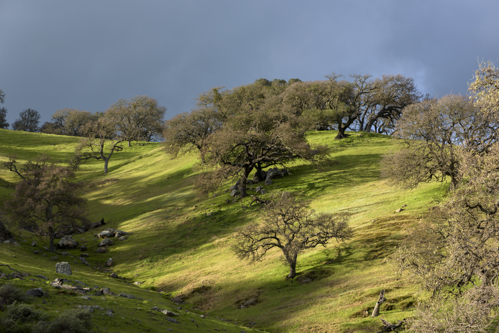
Climate/recommended clothing: Summer temperatures here average in the mid-90s and occasionally exceed 100°; but evenings are usually cool and pleasant. Rainfall averages eight to nine inches a year, mostly between November and April. In winter, temperatures seldom go below freezing, and tule fogs are frequent. In the spring, the golden-brown hills are coated with a fleeting green, highlighted by bursts of wildflowers colors.
Location and Directions
On Highway 152, 7 miles West of I-5, or 33 miles East of Highway 101 from Gilroy.
Address for Park Headquarters
31426 Gonzaga Road
Gustine, CA 95322
Office Hours: Monday - Friday 8:00am - 4:00pm. Closed on Saturday, Sunday, and Holidays.