Contact Number

  • (209) 795-2334

Park Accessibility Information

Park Hours

  • Day Use: 6 a.m. - 6 p.m. Open on holidays.
    Camping: All Hours, fall-winter camping limited to North Grove, first-come, first-served.

Park Activities

Yes
Dogs allowed only in campgrounds and on fire roads.
Historical/Cultural Site
Picnic Areas
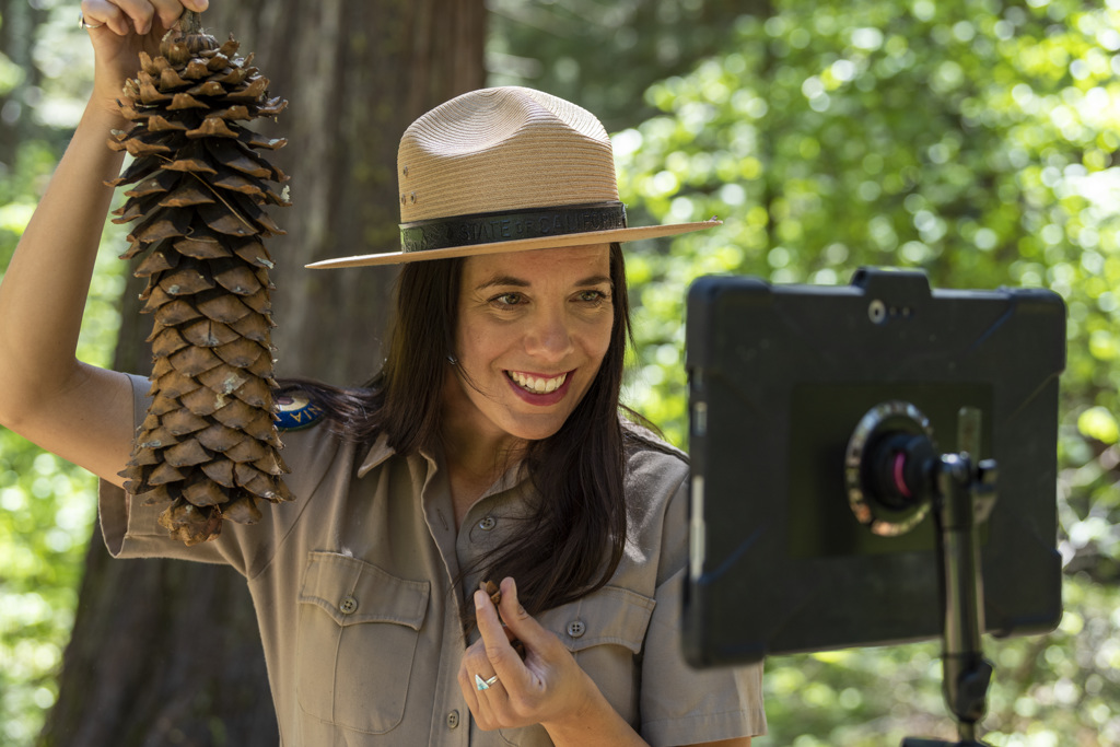
Env. Learning/Visitor Center
Exhibits and Programs
Fishing
Guided Tours
Interpretive Exhibits
Beach Area
Swimming
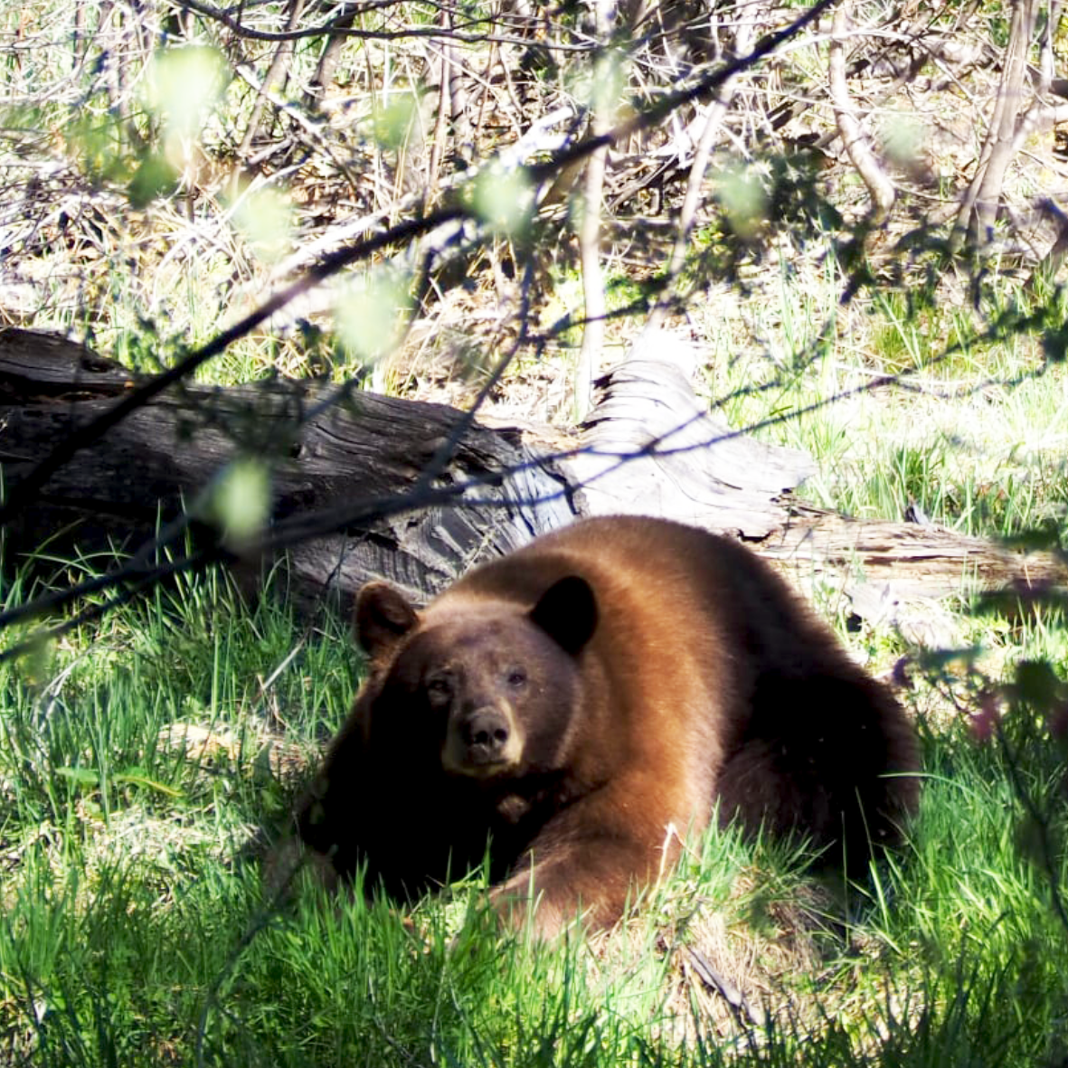
Nature & Wildlife Viewing
Museums
Family Programs
Geocaching
Bike Trails
Hiking Trails

Park Facilities

Trailer: 30 Feet
Camper/Motorhome: 30 Feet
Environmental Campsites
Family Campsites
Group Campsites
Lodging
RV Access
Restrooms / Showers
Restrooms
Outdoor Showers
Drinking Water Available

Park Directions

Get directions through Google Maps

The park is northeast of Stockton, four miles northeast of Arnold on Highway 4.
From SF Bay Area:
Take I-580 eastbound over Altamont Pass to I-205 toward Manteca, to US 99 North. Take the exit for State Hwy 4 Eastbound (Angel's Camp) to the Park Entrance. Hwy 4 makes a jog to the right in Angel's Camp along State Hwy 49, then jogs left just before leaving town. Calaveras Big Trees is about 35 minutes driving from Angel's Camp.
From Southern California:
Take either I-5 or US 99 North. From I-5 you can cross to the other side of Stockton on State Hwy 4 to 99/4 South a few miles, then follow Hwy 4 towards and beyond Farmington to the Park. Hwy 4 makes a jog right in Angel's Camp, then jogs left just before leaving town. Calaveras Big Trees is about 35 minutes driving time from Angel's Camp.
From Sacramento:
Take US 99 South to Stockton, turning off onto State Hwy 4 towards and beyond Farmington to the Park (through Angel's Camp). Driving time to the Park from Stockton is approx. 1 hour and 30 minutes. An alternate route is to take State Hwy 16 southeast to State Hwy 49 South through the goldrush towns to Angel's Camp, making a left turn on the far side of town on State Hwy 4 to the Park. Driving time from Angel's Camp is approximately 35 minutes.
From Nevada:
Take US 395 to State Hwy 89 West to the terminus of State Hwy 4, up over Ebbett's Pass to the Park. The road is closed in Winter. It's very scenic, but so steep and tortuous that trailers and large motorhomes are ill-advised to use it.

Starting December 1st, the Walter W. Smith Parkway road is fully closed to vehicles. This road will not reopen until May 1st or later if there is still snow. The road is open to cyclists, pedestrians, and skiers. 

Closed areas to vehicles include: Scenic Overlook, Lava Bluffs, Stanislaus River, South Grove, Bradley Grove, and Beaver Creek.

Open areas to vehicles include: Visitor Center, North Grove trail and offshoots (River Canyon trail, North Grove Overlook Trail), North Grove Day Use Area and first-come, first-served camping in loop 1-11 in the North Grove Campground.

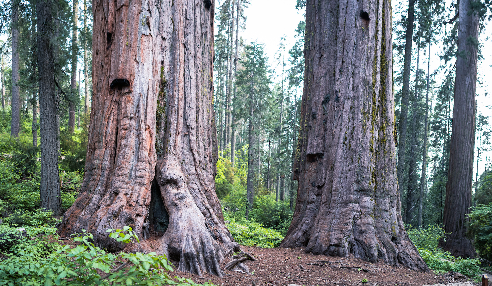
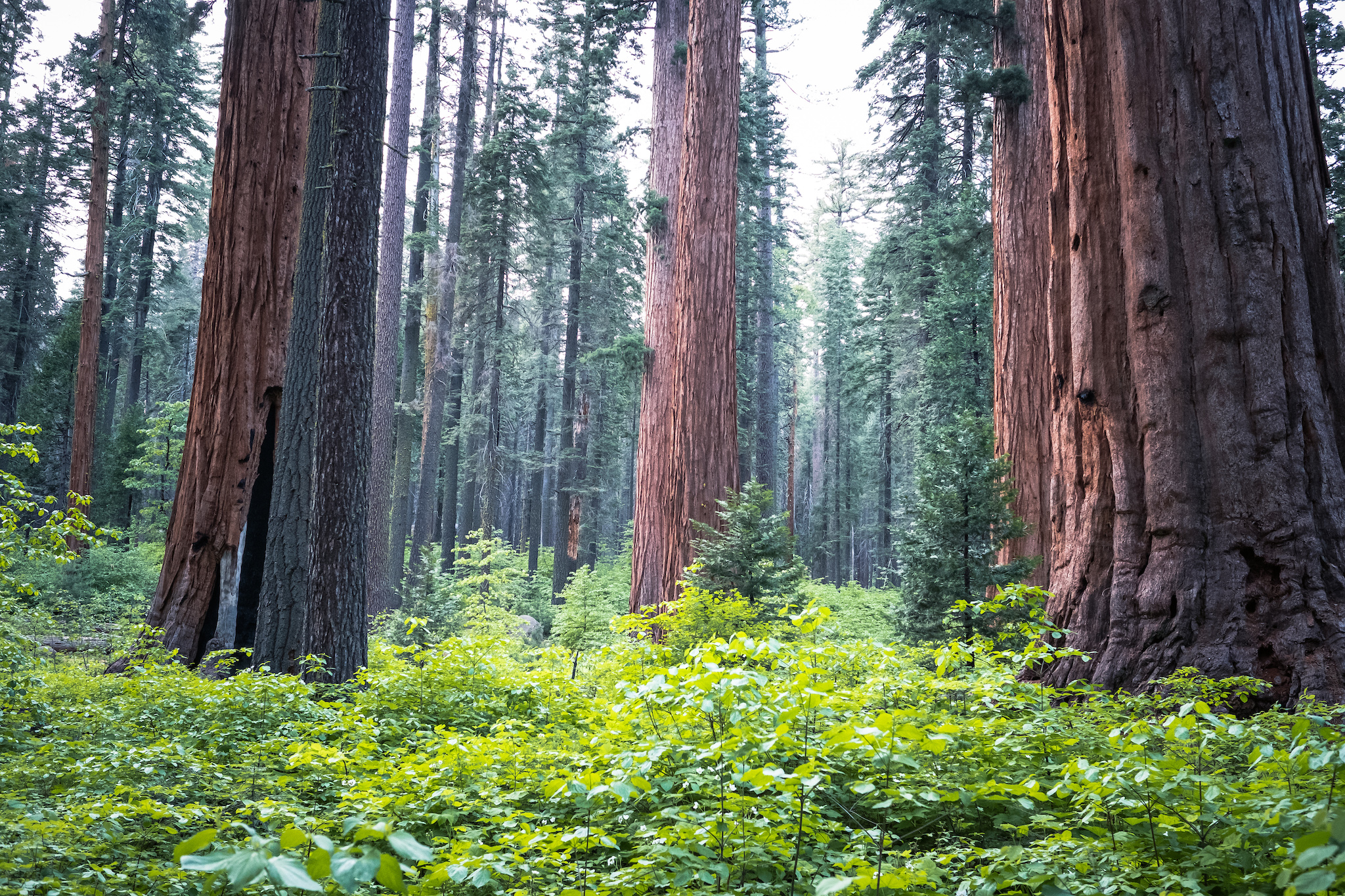
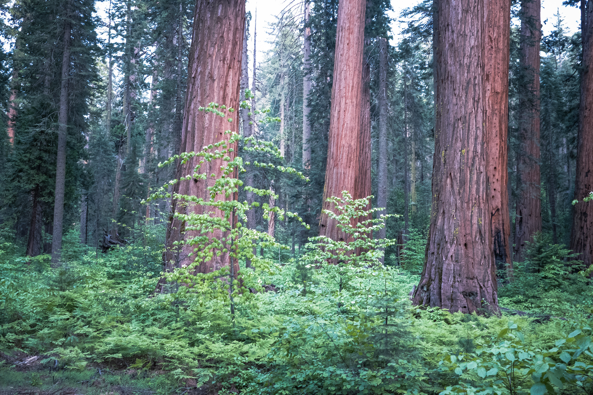
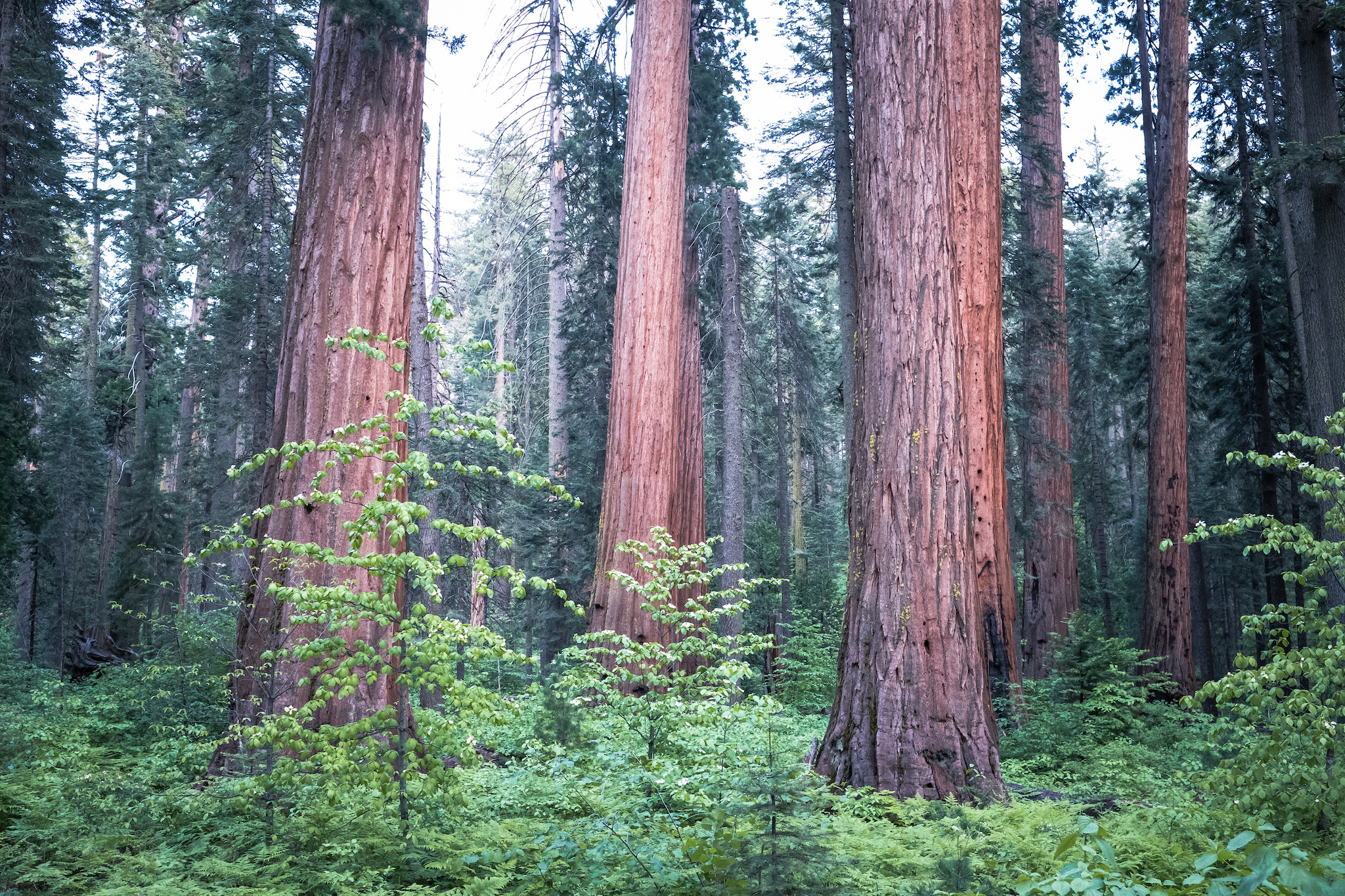
Welcome to Calaveras Big Trees State Park. Established in 1931, Calaveras Big Trees State Park preserves a mixed conifer forest with two groves of giant sequoias - the North Grove and South Grove. In addition to the giant sequoia trees, you will find the Stanislaus River, Beaver Creek, ancient volcanic formations, natural meadows, and trails throughout the park allow you to discover the area that has awed visitors since 1852.

Planning your trip? The park closes the Walter W. Smith Parkway road every first significant snowfall or December 1st, whichever comes first. This closes vehicle access to the Stanislaus River and South Grove areas. The road reopens May 1st or later if there is still snow. All areas in the park are open in the summer. 


Follow us on Social Media                                      Facebook logo     Instagram Logo     YouTube Logo


Open and Closed Trails and Roads List