About Millerton Lake State Recreation Area

Millerton Lake SRA offers over 40 miles of shoreline for water sports, swimming, fishing, and boating. Hills surround the lake for hiking. The park is home to ground squirrels, cottontails, mule deer, bald & golden eagles, and badgers. It contains the original Historic Fresno County Courthouse.

Get directions through Google Maps

Campgrounds, North Shore (Madera County Side)

Directions through Google Maps
Day-Use, South Shore (Fresno County Side)

Directions through Google Maps
South Finegold Day-Use

(Millerton Lake SRA Detailed Directions Page)

EV Information

e-bike icon E-Bike Locations
  EV Charger Locations

Overnight Facilities

  • Family Campsites
  • Group Campsites
  • RV Sites w/Hookups
  • RV Dump Station
  • Boat-in/Floating Camps
  • RV Access
Other Facilities

  • Parking
  • Restrooms / Showers
  • Restrooms
  • Outdoor Showers
  • Drinking Water Available
  • Wheelchair Accessible
Boating

  • Boating
  • Boat Ramps
  • Boat Rentals
Day-Use Activities & Facilities

  • Historical/Cultural Site
  • Picnic Areas
  • Exhibits and Programs
  • Fishing
  • Guided Tours
  • Interpretive Exhibits
  • Scuba Diving/Snorkeling
  • Beach Area
  • Swimming
  • Windsurfing/Surfing
  • Family Programs
  • Geocaching
Trail Use

  • Hiking Trails
  • Horseback Riding
Watercraft Rental and Camp Store Marina Fishing Guide Service

Welcome to Millerton Lake State Recreation Area

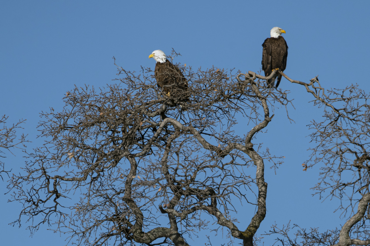
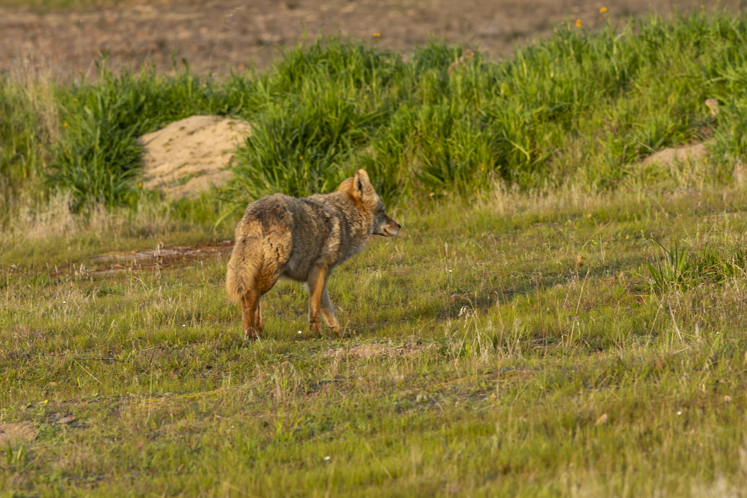
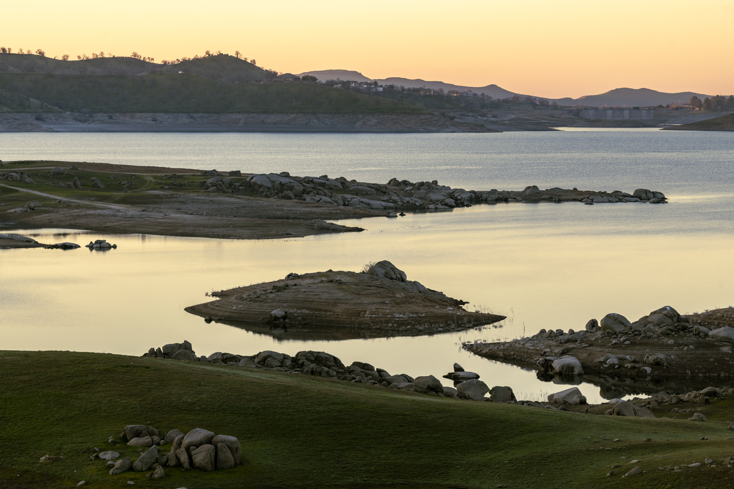
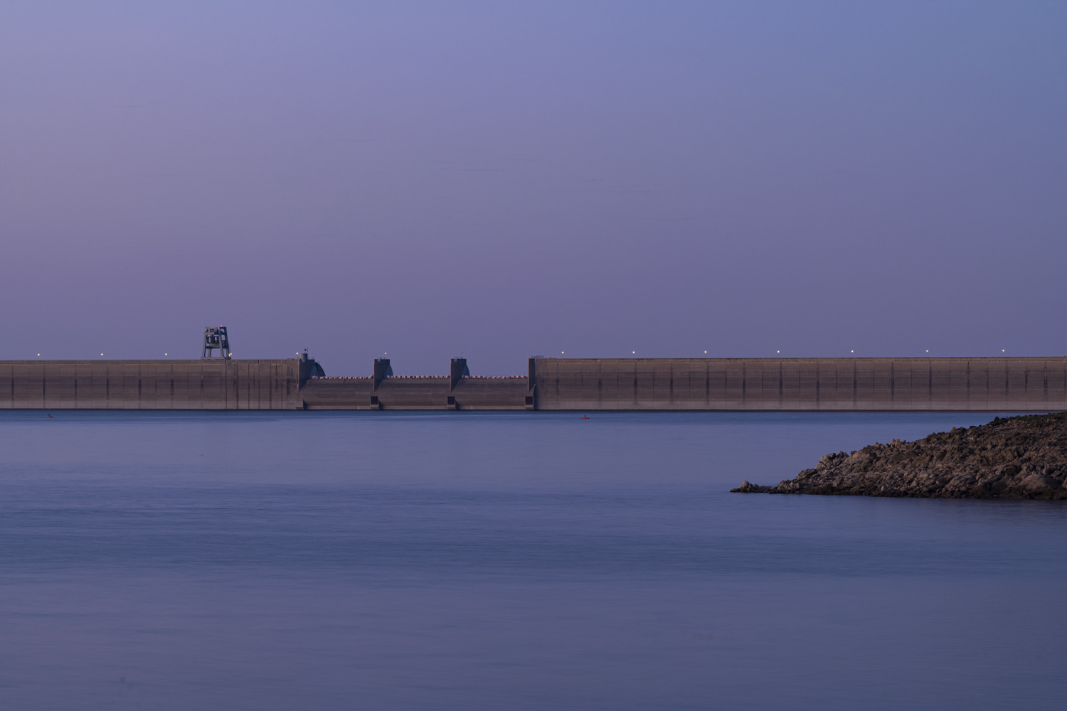
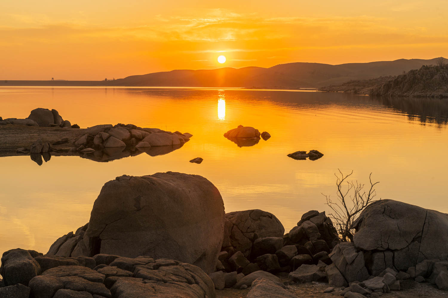
Visitors to Millerton Lake State Recreation Area (SRA) can experience a wide range of outdoor activities at this central Sierra Nevada foothill reservoir. The park lies in Fresno and Madera counties, bifurcated by the San Joaquin River channel, traversing its historical route from the Sierra Crest to the California Delta. Millerton Lake SRA is host to a multiuse trail system and to over forty miles of shoreline. The several thousand square acres of water surface area is popular with boaters and fishermen. Locals and out-of-town visitors enjoy the temperate climate, with warm to hot summers and cool winters. The region is the traditional and ceremonial homeland of the Dumna and Kechaye, a Yokuts Native American group of Central California. Their involvement in the park and impact on the landscape is appreciated by visitors daily.

Follow us on social media!
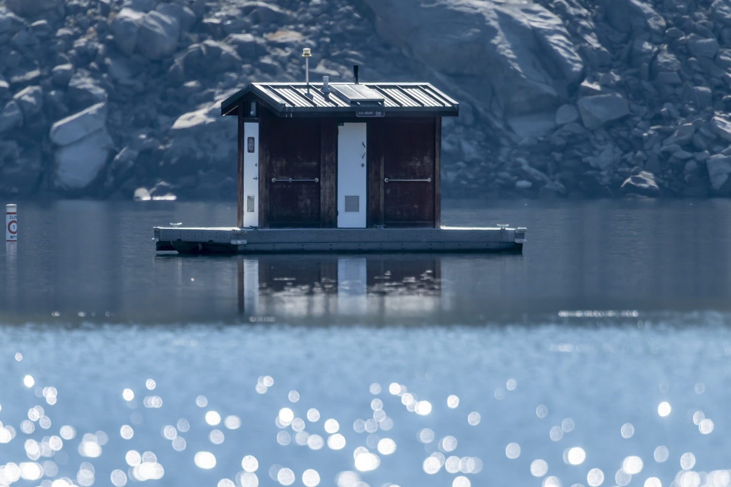
 

California Boater Card

Location - Directions
The area is 20 miles northeast of Fresno via Highway 41 and Highway 145.

Seasons/Climate/Recommended clothing
The weather can be changeable; layered clothing is recommended.