Park Information
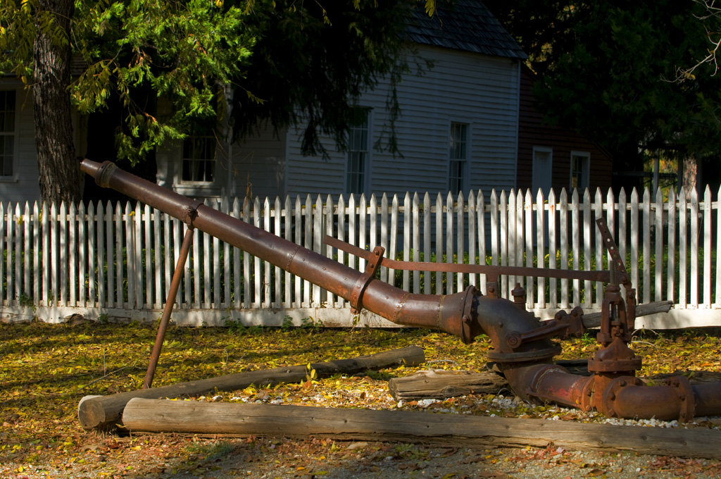
Malakoff Diggins State Historic Park is nestled amongst the pine-studded chaparral forest of the Sierra Nevada Foothills and is home to California’s largest hydraulic gold mine. The 3,000-acre park encompasses the town of North Bloomfield and the historic Diggins site, which allows visitors to step back in time and experience the boom and bust of the California Gold Rush. Visitors can see huge cliffs carved by mighty jets of water, results of the gold-mining technique of washing away entire mountains to find gold.
Legal battles between the mine company and downstream agricultural towns resulted in the first environmental protection legislation in the United States in 1884. State Parks inherited the damage done from this type of mining in 1965 and has begun to help nature recover this once-barren mining pit. The park is in the process of designing several measures to this end.
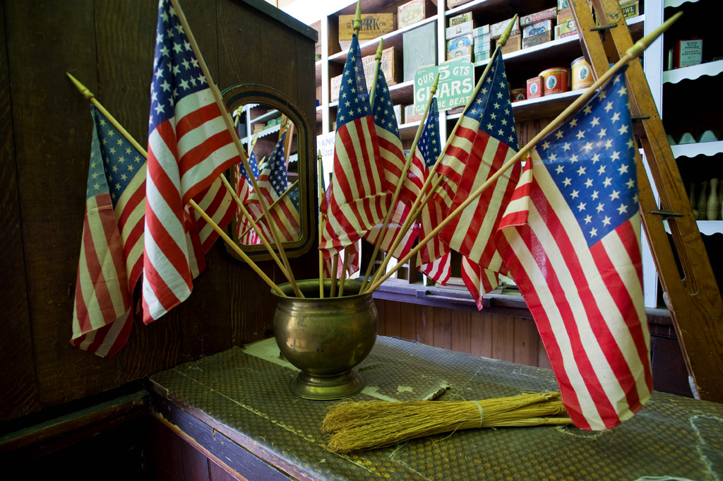
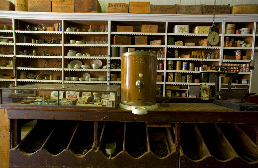
The park also has over 20 miles of unparalleled hiking with some of the most epic views in the Sierra foothills. You can see the sediment layers from 50-million-year-old riverbeds on the Diggins Loop trail and retreat from the summer heat on some of the shadier trails like the Humbug Creek trail. The campground has many trailheads, so you won’t need to drive much once you’re here. The park Visitor Center features displays on mining and pioneer life in the old mining town of North Bloomfield, as well as a short video on hydraulic mining. The park also offers unparalleled snowshoeing in winter.
Location & Directions
Address:
23579 N. Bloomfield Road
Nevada City, CA 95959
Do not follow your GPS unless you wish to travel on a dirt road for several miles. North Bloomfield Road and Relief Hill Road are not recommended: road conditions vary due to weather; high clearance 4-wheel drive vehicles are highly suggested.
For an all-paved route to the park: From Nevada City, travel 11 miles north on highway 49 toward Downieville. Turn right on Tyler Foote Road from Highway 49 and follow the main paved road to the park. The main road changes names a few times, from Tyler Foote Road to Cruzon Grade Road to Back Bone Road. Turn right on Derbec Road at the park sign, then right again on North Bloomfield Road at the bottom of the hill. You will stay on paved roads all the way to the park. These are not high-speed roads. The park is 26 miles (50 min drive time) from Nevada City.
Recreation
Trails
Malakoff Diggins has over 20 miles of trails throughout the park. Trails range in length from 1/2 mile to 3 miles one way, from easy to steep elevation changes. Call the park to learn about available dog-friendly trails. Dogs must be on a controlled leash at all times.
Camping
Open sites for the Chute Hill Campground and in-town cabins are available by reservation only. Please log into (www.reservecalifornia.com) to make your reservations.
Please note:
- Campground does not have showers.
- Maximum trailer size for passage through campground is 19 feet.
- Potable water is available in various locations in the campground
- Unless posted above, fires are currently allowed in designated fire rings.
- Firewood is available for purchase in the visitor center. Burn it where you buy it!
- Cabins are not located within the campground area; they are in the historic town area.
Town Tours
Join us every Saturday, year-round on a tour of the historic mining town. Tours may enter some of the historic facilities.
School Tours - Day Field Trips
Bring your 3rd–5th grade students to experience California's Gold Rush history at Malakoff Diggins State Historic Park!
Our program inspires students to step back in time to explore the historic Gold Rush town of North Bloomfield. Highlights include a guided tour of the town (with a scavenger hunt), museum scavenger hunt, and a hands-on activity or hike, facilitated by teachers and chaperones, allowing students to deepen their connection to history and nature.
We welcome school groups of up to 60 students with chaperones.
Link to registration and more information
Environmental Living Program (ELP)
The Environmental Living Program camp site is located a short walking distance from the old historic town of North Bloomfield, a 45 minute drive north-east of Nevada City, California. This site has been designed to accommodate school groups, teachers, parents and helpers to give them the feel of living in a gold rush camp back in the eighteen hundreds. Students will be eating and learning crafts from that era and participate in a scavenger hunt located in several of the historic buildings in the old town. This learning experience is no doubt enhanced by how well the school recreates the time period.
The program is based on approximately 40 students with 10 adult chaperones. Groups must bring their own personal tents to set up in the ELP camping area. Groups with fewer than twenty (20) students typically stay one night having plenty of time to participate in all the activities. Groups larger than 20 students and/or traveling a greater distance typically stay for two nights. Prior to the overnight visit, the student should be well versed in the gold rush story. This should include historical research as well as developing a fictional gold rush character for themselves.
Link to registration and more information
Humbug Day 2026
Join us at Malakoff Diggins State Historic Park for our 58th annual Humbug Day celebration. This year’s event will be on June 13th from 11:00am -4:00pm. The historic town of North Bloomfield will come to life, and you can be a part of the action.This family friendly event will include games, craft demonstrations, music, food, and a the "world's shortest parade". Many of the park's historic buildings will be open to the public, and staffed by volunteers in period attire. Visitors dressed in period attire are also invited to join the parade, but we ask that you register in advance using the link below. The cost of attendance in $10.00 per vehicle. The event is cash only and there are no ATMs and very limited cellular service, so please plan accordingly.
For more details, call the Visitor Center at 530-265-2740
Seasons/Climate/Recommended Clothing
Summer and spring are warm; fall and winter can be cool. Layered clothing is advised.
Land Acknowledgement
California State Parks acknowledges the Nisenan People were here in this State Park since time immemorial. The Nisenan People are still here today, though they are nearly invisible.
The Sierra District of California State Parks includes their story in our interpretation and education here at the Malakoff Diggins State Historic Park. We understand we are on Nisenan Land and that the original Tribal Families have yet to recover from the near genocide of their people during the California Gold Rush.
California State Parks supports the Nevada City Rancheria Tribe in efforts to stabilize their people as well as the campaign to restore Tribal sovereignty through Federal Recognition.
Filming Videos and Still Photography in State Parks
 California State Parks thanks you for choosing our beautiful parks for your photographic activities and sharing the wonders of our park units with the world. However, in order to maintain the beauty of our parks and its natural and cultural resources, we require that all commercial, still and motion picture photographers obtain a film permit from the California Film Commission.
California State Parks requires an approved film permit for:
- All commercial still photography and videography
- Professional photographers offering private services
- Student photo/film projects
- Professional development projects
Drones are not permitted unless a special permit is granted. To learn more, please visit our blog here.
For specific film permit information at Empire Mine State Historic Park, Malakoff Diggins State Historic Park or South Yuba River State Park, please review Sierra Gold Sector Film Permit information.