The Project
Copyright (C) 2002-2019 Kenneth & Gabrielle Adelman, California Coastal Records Project, www.Californiacoastline.org
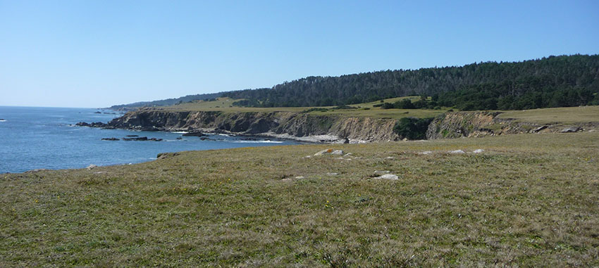
The Fort Ross State Historic Park Cultural Trail Project is a proposed series of pedestrian interpretive trail routes totaling approximately 2.80 miles. A combination of 1.55 miles of existing roads and trails, along with 1.25 miles of proposed new trail construction will make up the Cultural Trail.The trail design brings together stories from the indigenous 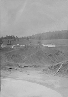 Kashia Band of Pomo Indians, Alaska Natives, the Call Ranch history, and others in the international community once associated with the Russian American Company's Ross Settlement.
Visitors often have difficulty understanding the broader cultural landscape that included multi-ethnic neighborhoods and thriving activity around the historic fort. Visitors can gain a better sense of the various historical contexts by walking the land with the support of multimedia interpretation that will help bring that history to life. These stories are told through 23 proposed interpretive stopping points along the various trail routes.
Work began in Summer 2018 with an assessment of completed research and compilation of stories, archaeological field work, and historical accounts accumulated since 1992 and earlier (see Background). Natural resource studies were initiated to identify areas of biological sensitivity to help guide planning of new trail alignments. Work is continuing to refine interpretive messages, appropriate stopping points, and trail alignment planning.
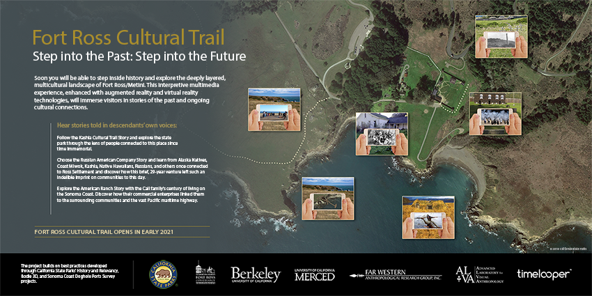
Fort Ross Cultural Trail Poster
Background
Fort Ross SHP is an internationally significant part of California's history, in addition to being a critical element of California’s tribal cultural history. The site is recognized as a National Historic Landmark, National Register of Historic Places, and California Historical Landmark. Recognition of the unique significance of history preserved at Fort Ross SHP is seen in its early designation as a State Park in 1906. Land was set aside as public land to preserve and interpret North American's southernmost Russian-American Companys international settlement (1812- 1841).

The unique history of the area attracts visitors from around the world. Fort Ross is noteworthy for maintaining a high political profile, bringing in foreign and domestic dignitaries on a regular basis for visits, conferences (e.g. Fort Ross Dialogue), meetings, and events.
As far back as the 1975 general development plan for the park, there was a concept for a Historic Trail to connect and interpret the locations where different cultural groups lived outside the fort compound. The concept of a Cultural Trail was more explicitly presented in a 1992 publication after five years of collaborative research between State Parks archaeologists and 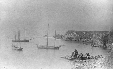 researchers from UC Berkeley, Sonoma State University, and Santa Rosa Junior College. Conceptual trail alignments were identified in 2004 with Kashia tribal members, State Park personnel, Fort Ross Conservancy, and a few selected groups of park visitors. Further refinements by 2011 addressed ways to minimize the trail's possible impacts on Kashia ancestral sites through a collaborative project to engage the public in productive dialogues about heritage, indigenous views on science, spirituality, and representation of the colonial past at the park. Most recently, the ever- broadening engagement of tribal, academic, and agency professionals was presented to officials and visiting dignitaries as a project proposal at the annual Fort Ross Dialogue in October 2017. The Fort Ross Cultural Trail became an official project in the 2018/19 Governor’s State Budget
The Interpretive Experience
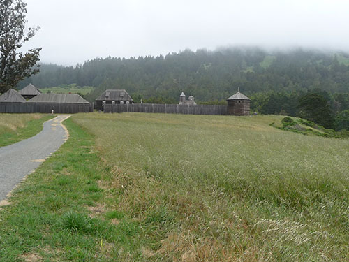
Given the complex and layered history of the cultural landscape, it is not possible, appropriate or feasible to reconstruct all the different buildings, structures and features that were there throughout time. Our goal is to explore and communicate a composite message with park visitors through a variety of interpretive experiences. Visitors can gain a better sense of the various historical contexts by walking the land with the support of augmented and virtual reality experiences on their mobile devices that will help tell the stories and bring that history to life. A Fort Ross Cultural Trail App is in the developing stages that will give flexibility to include more stories.
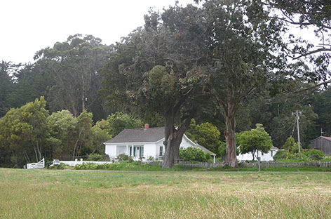
Ultimately, the Fort Ross Cultural Trail will serve to broaden visitors' understanding of California's richly nuanced history colonial history in a more complex way.
Fort Ross Cultural Trail Promotional with DVS
Trail Design
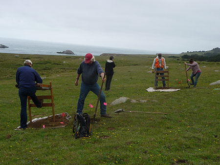
Biological assessments, cultural resource surveys, and past research have all contributed relevant data that allows us to make objective decisions regarding trail placement. Botanical surveys were completed in 2004 and 2010 when the proposed trail corridor was under study as part of the California Coastal Trail. A botanical survey and report completed in August of 2018 identified seven (7) special status plant species in the project area. An Aquatic Resources Report with wetlands delineations was prepared for the project in 2019. Preliminary wildlife assessments were conducted in the spring/summer of 2018. Recent cultural resource field surveys of the project area were completed in 2018. Subsequent sub-surface testing along the proposed trail alignment was conducted in October 2018 and May 2019.
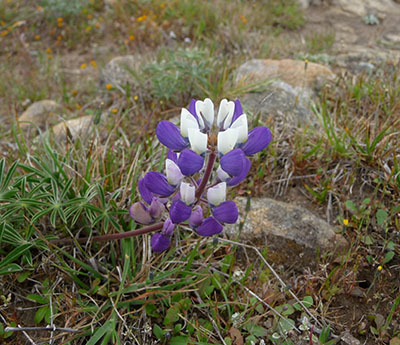
Proposed construction of new trail will vary from four to five (4 – 5) feet wide with a surface of compacted aggregate base rock. All new trail construction and interpretive stopping points will be ADA compliant. With the use of existing park roads and trails for part of the Cultural Trail Route (1.63 miles), approximately .56 miles will not meet accessible standards. Upgrading non-compliant sections is not feasible.
Current Progress
- Trail alignments have been identified and are currently under study and review.
- Research and consultations with multiple culturally affiliated groups with historical ties to the site are in progress.
- Interpretive subject matter content and delivery methods are in the process of being identified.
- Cultural field work (planning phase) is complete and reports are pending.
- Botanical surveys and aquatic resources reports have been completed.
- Informal wildlife surveys (observations) are ongoing. Protocol level surveys will not begin until the construction timeframe gets closer.
Next Steps (in no particular order)
- Preparation of the environmental document (MND)
- Continue with development of interpretive messages and ongoing dialogue with affiliated groups.
- Prepare preliminary planning documents.
- Initiate dialogue with permitting agencies and begin work on longer term permits (USACOE, Coastal, Section 106).
- Develop grazing plan for continuation of grazing activities
- Continue with wildlife observations.
Project Schedule
The Preliminary Planning Phase (typically 12 months) includes completion of initial project design, preliminary cost estimate, and completion of the environmental document. The Working Drawing Phase (typically 12 months) includes final design documents (complete plans and specifications), final cost estimate, and completion of mandatory reviews and required permits. The Construction Phase (maximum of 36 months) includes project construction and delivery of related products. This final phase also includes project close-out (final payments, legal notices, and potential claims).
For more details, refer to the “Project Schedule” in the Related Documents Section.

