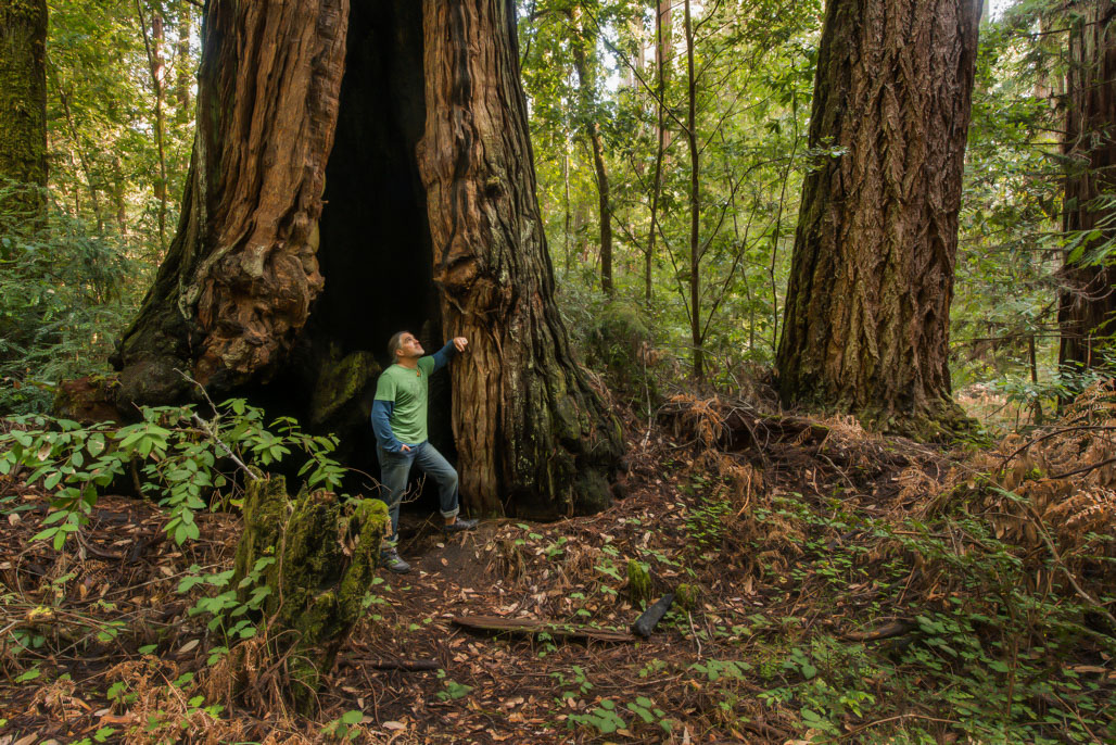
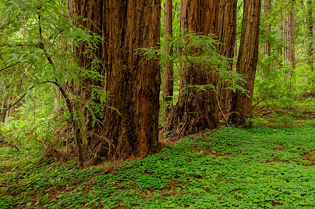
Portola Redwoods State Park has a rugged, natural basin forested with coast redwoods, Douglas fir and live oak. Eighteen miles of trails crisscross the canyon and its two streams, Peters Creek and Pescadero Creek. A short nature trail along Pescadero Creek introduces visitors to the natural history of the area. Visitors can see clam shells and other marine deposits from the time when the area was once covered by the ocean. The park has one of the tallest redwoods (300 feet high) in the Santa Cruz Mountains.
- Distance: 19.05 Miles.
- Reservation Availibility: Yes
-
Camping Types:
Group Campsite
Group Tent Campsite
Hike in Campsite
Campsite
Tent Campsite
- Make your reservation at ReserveCalifornia.com

In the middle of San Francisco Bay sits Angel Island State Park, offering spectacular views of the San Francisco skyline, the Marin Headlands and Mount Tamalpais. The island is also alive with history. Three thousand years ago the island was a fishing and hunting site for Coastal Miwok Indians. It was later a haven for Spanish explorer Juan de Ayala, a cattle ranch, and a U.S. Army post. From 1910 to 1940, the island processed thousands of immigrants. During World War II, Japanese and German POWs were held on the island, which was also used as a jumping-off point for American soldiers returning from the Pacific. In the '50s and '60s, the island was home to a Nike missile base. Today, there are two active Coast Guard stations - at Point Blunt and Point Stuart - on the island. Angel Island became a State Park in 1958.
- Distance: 28.11 Miles.
- Reservation Availibility: Yes
-
Camping Types:
Group Dailyuse (B)
Group Dailyuse (A)
Group Dailyuse (C)
Hike in Campsite
Group Tent Campsite
Campsite
Group Day Use
- Make your reservation at ReserveCalifornia.com
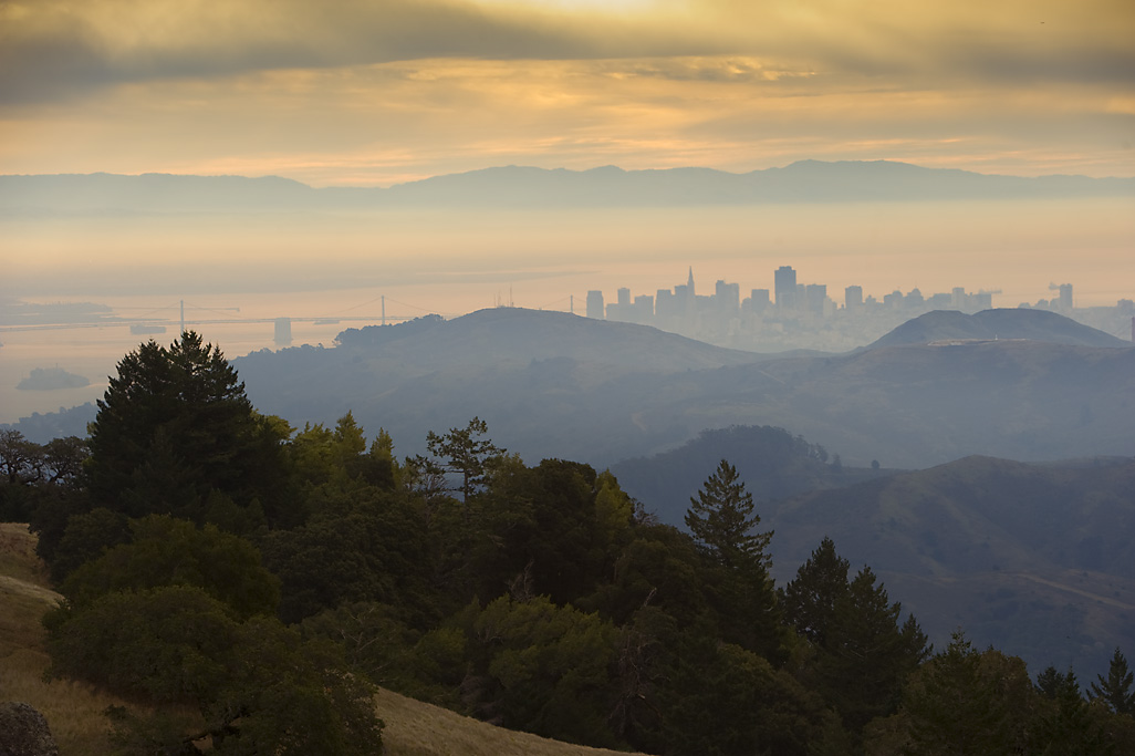
Just north of San Francisco's Golden Gate is Mount Tamalpais, 6,300 acres of redwood groves and oak woodlands with a spectacular view from the 2,571-foot peak. On a clear day, visitors can see the Farallon Islands 25 miles out to sea, the Marin County Hills, San Francisco and the Bay, hills and cities of the East Bay, and Mount Diablo. On rare occasions, the Sierra Nevada's snow-covered mountains can be seen 150 miles away. Coastal Miwok Indians lived in the area for thousands of years before Europeans arrived. In 1770, two explorers named the mountain La Sierra de Nuestro Padre de San Francisco, which was later changed to the Miwok word Tamalpais. With the Gold Rush of 1849, San Francisco grew; and more people began to use Mount Tamalpais for recreation. Trails were developed, and a wagon road was built. Later, a railway was completed and became known as the Crookedest Railroad in the World It was abandoned in 1930 after a wildfire damaged the line.
- Distance: 32.71 Miles.
- Reservation Availibility: Yes
-
Camping Types:
Group Primitive Campsite
Group Tent Primitive Campsite
Equestrian Group Tent Campsite
Hike In Primitive Campsite
Cabin (5 People)
- Make your reservation at ReserveCalifornia.com

Once the site of a thriving fishing village on San Pablo Bay, China Camp State Park is not only the historic remains of the village, but also 1,640 acres of natural watershed along the shores of San Francisco Bay. The park features extensive inter-tidal, salt marsh, meadow and oak habitats that are home to a variety of wildlife, including deer, squirrels and numerous birds. Visitors not only enjoy wildlife-watching, but also hiking, swimming, boating and windsurfing. The park has some of the best weather in the San Francisco Bay Area, with an average of more than 200 fog-free days per year.
- Distance: 37.02 Miles.
- Reservation Availibility: Yes
-
Camping Types:
Group Day Use
Campsite
Group Primitive Campsite
- Make your reservation at ReserveCalifornia.com
On a clear day, from the summit of Mount Diablo State Park visitors can see 35 of California's 58 counties. It is said that the view is surpassed only by that of 19,000-foot Mount Kilimanjaro in Africa. With binoculars, Yosemite's Half Dome is even visible from Mt. Diablo. The park features exce hiking and rock climbing opportunities. The mountain was formed when a mass of underlying rock was gradually forced up through the earth's surface so, unlike other mountains, older and older rocks are encountered as you climb the mountain. The mountain was regarded as sacred to Native Americans.
- Distance: 38.98 Miles.
- Reservation Availibility: Yes
-
Camping Types:
Campsite
Equestrian Group Primitive Campsite
Group Primitive Campsite
Group Tent Primitive Campsite
- Make your reservation at ReserveCalifornia.com
Samuel P. Taylor State Park offers campgrounds and picnic areas for small or larger groups. Hiking trails take visitors through the shady woods or the sunny slopes of Mount Barnabe. The partially paved Cross Marin Trail is a favorite among bicyclists and families out for a stroll along Lagunitas Creek. Dating back to the 1800's, historic Camp Taylor is comprised of the Azalea and Redwood Grove picnic areas as well as the Creekside and Orchard Hill loops of campsites; Irving picnic area is also nearby. The Madrone Group Camp hosts a large group campsite as well as newly installed cabins which can be reserved. The primitive Devil's Gulch area is comprised of a group horse camp and two small group sites just above Devil's Gulch Creek.
- Distance: 41.29 Miles.
- Reservation Availibility: Yes
-
Camping Types:
Tent Campsite
Hike/Bike Campsite
Campsite
Equestrian Group Campsite
Group Tent Campsite
Group Campsite
Group Day Use
Group Dailyuse (A)
- Make your reservation at ReserveCalifornia.com
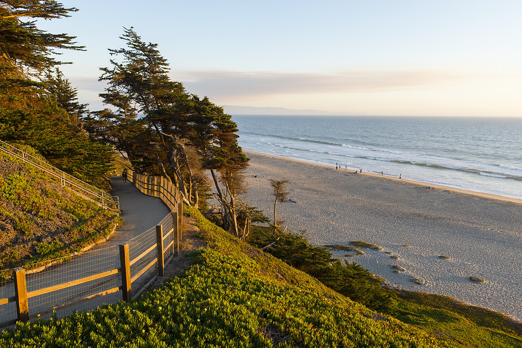
Manresa State Beach features a beautiful expanse of sea and sand, with surf fishing, clamming, and recreation.
- Distance: 49.93 Miles.
- Reservation Availibility: Yes
-
Camping Types:
Hike in Campsite
- Make your reservation at ReserveCalifornia.com
